


Hiking the Highwoods: Center Ridge Trail Loop
Sample one of the many hikes in one of Central Montana's island mountain ranges

Everybody is familiar with the Rocky Mountains, but it may come as a surprise that there are multiple independent mountain ranges here in Montana that are not connected to the continental divide. Rising up from the grasslands of Central and Eastern Montana, these island mountain ranges are unique ecosystems with interesting variations in their history and current use.
There are eleven ranges that are recognized as one of these island mountains - Big Snowies, Judiths, North and South Moccasins, Highwoods, Little Belts, Big Belts, Crazies, Little Rockies, Bear Paws, and Sweet Grass - although there is some discussion whether more should be included. But for today, we’re going to talk about the Highwood Mountains.
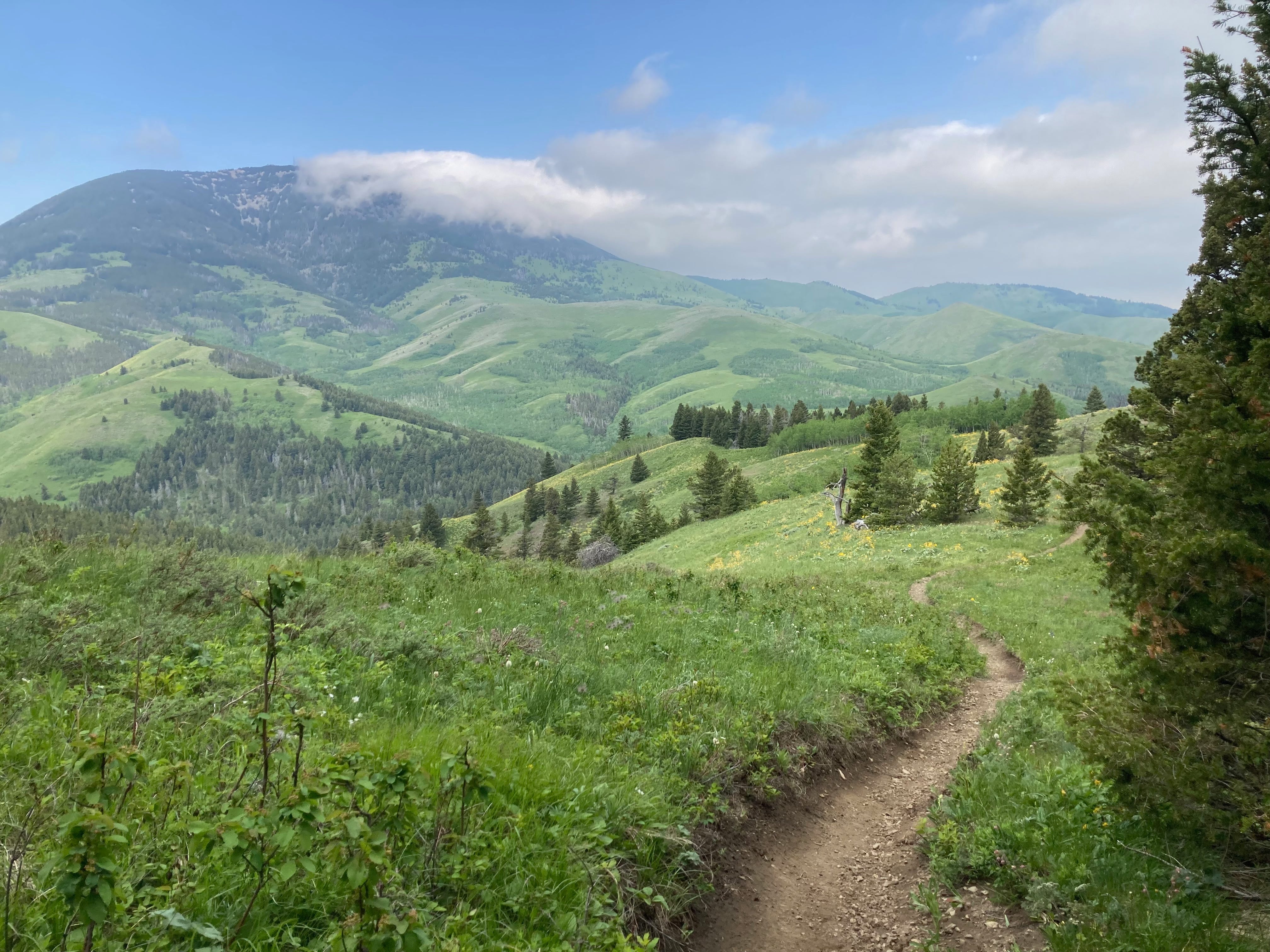
Approximately 45 miles from Great Falls, the Highwoods are our closest mountain range, and covering nearly 1800-square miles, is a local favorite for hiking, fishing and camping. While hiking in the spring when the arrowleaf balsamroot (Balsamorhiza sagittata) and other wildflowers bloom is my favorite time to be there, it’s a terrific area for an easy-to-reach outing when the notoriously rutted road is passable. I do need to caution anyone visiting this area that the road is a challenge, to put it mildly. There are potholes large enough to swallow a small car, and if it rains, water and mud often runs through the road in areas. Even in the full-sized truck, I take it slow.
My favorite jaunt into the Highwoods is our annual excursion along the Center Ridge Trail #415 that begins at the North Fork of Highwood Creek, and connects with the North For Highwood Creek #423. The entire loop is eight-miles long with over 1400-feet elevation gain, mostly in the first three-miles, with a payoff of knockout vistas and a bounty of flowers along the ridges. If you travel counter clockwise, you’ll reach the open, view-laden section faster, although some people prefer the more gradual trek heading clockwise.